Friday, 22 of Nov. 2024- Hebron to Dura -Thru Hike

The Hebron to Dura day stage begins in front of the Ibrahimi Mosque (Al-Haram al-Ibrahimi), the most important landmark in Hebron, where Ibrahim (Abraham), revered by three religious traditions, was buried alongside his wife, his son, grandson, and their wives. The path leads further through the souqs and alleys of Old City of Hebron, one of the only cities in the world today with a perfectly preserved twelfth century Mamluk infrastructure. It also passes next to the Russian monastery, located in the suburbs of Hebron, containing Ibrahim’s Oak. The legend says that at the foot of the tree, the prophet welcomed three strangers. After he had prepared them a meal and washed their feet, the three men revealed themselves to be angels who told him that his wife would give birth to a son. A shepherds’ path leads out of the city toward agricultural fields and natural areas covered with flora characteristic for Palestine’s central highlands climate region: trees like Terebinth (Pistacia palaestina) and Palestine Oak (Quercus calliprinos), the aromatic wild thyme (za’atar) and during the springtime various kinds of colorful flowers. The trail also passes through valleys close to Taffuh (8 km west of Hebron) with various archaeological sites, and among them a 6th century Byzantine monastery with an impressive baptismal font (Al-Ma’moudiya) and ruins of Crusader churches that were looted.  Hikers stamp location : Hebron   Walking distance: 12.4 km Walking time: 3-5 hours Difficulty: Moderate   Recommendations: Lightweight walking boots Walking poles At least 4-5 liters of water and snacks for the hike Sunscreen and hat Your camera Included: An experienced local hiking guide Lunch in Dura  Not Included: Transportations to the starting point and from the end point 

Saturday, 23 of Nov. 2024 - Dura to As-Sura -Thru Hike

In Dura, hikers can start their day by visiting Dura Cooperative Association for Agricultural Production, where they can stamp their Hiker Passports and support the women’s cooperative by purchasing some aromatic herbs or sweet raisins or malban (dried grape juice rollups) – a tasty snack for the way. An-Nabi Nuh Shrine (the Shrine of Prophet Noah), an Ottoman building with a small dome and small arched courtyard, is also worth a visit. According to the local tradition, the Turkish soldiers arrived on the spot holding a map showing the burial site of Noah. Old residences located in the proximity to the shrine demonstrate the importance of Dura during the Ottoman period, which became the administrative center of the area (throne village). Several of these traditional houses are being restored. After leaving Dura, the trail passes through scenic valleys covered with the abundant pine trees. Along the way, there are some hills to climb. The final part of this section leads up the hill to As-Sura, a small agricultural village in the Hebron Governorate.  Hikers stamp location : Dura   Walking distance: 11.2 km Walking time: 3-4 hours Difficulty: Moderate   Recommendations: Lightweight walking boots Walking poles At least 4-5 liters of water and snacks for the hike Sunscreen and hat Your camera Included: An experienced local hiking guide Lunch in Route  Not Included: Transportations to the starting point and from the end point 

Sunday, 24 of Nov. 2024, As-Sura to Dhahriya - Thru Hike

After passing through the rural areas surrounding As-Sura,  the path to Dhahriya, leads through evergreen pine forests. It continues towards Khirbet Rabud, the only major Late Bronze Age archaeological site in the mountains around Hebron. At the end of the 19th century the area was inhabited again. The inhabitants made use of the caves for protection, at first temporary and then permanent residences. However, the Ottoman village of Rabud has been left to decay since 1970’s. Yet the ruins  are some of the best preserved examples of vernacular  architecture in the mountains around Hebron. The new village of Raboud is built nearby. Later, a long portion of the trail passes through the picturesque Wadi Nar to reach Dhahriya. According to local tradition, Dhahriya  was founded in thirteenth century by the Mamluk ruler Al-Malik al-Dhahir Baibars, after whom the village was named. However, archaeological findings confirm that the site was inhabited before this time.  A well-conserved fortress from the Hellenistic or early Roman period is can also be found in the village. Nevertheless, Dhahriya’s historic core, with its narrow streets and small domed stone houses, is a well-preserved example of an architectural complex that dates to Ottoman times in Palestine. Before the houses were constructed, probably during the sixteenth or seventeenth century, the villagers used to live in caves that currently can be found beneath the old town.    Hikers stamp location : Dhahriya   Walking distance:13.5 km Walking time: 4- 5 hours  Difficulty: Moderate    Recommendations Lightweight walking boots Walking poles At least 4-5 liters of water and snacks for the hike Sunscreen and hat Your camera Included: An experienced local hiking guide Lunch in Route  Not Included: Transportations to the starting point and from the end point  

Monday, 25 of Nov. 2024 DHAHRIYA TO BEIT MIRSIM -Thru Hike

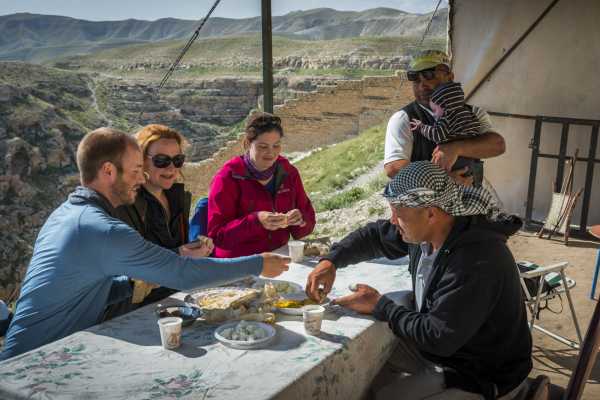
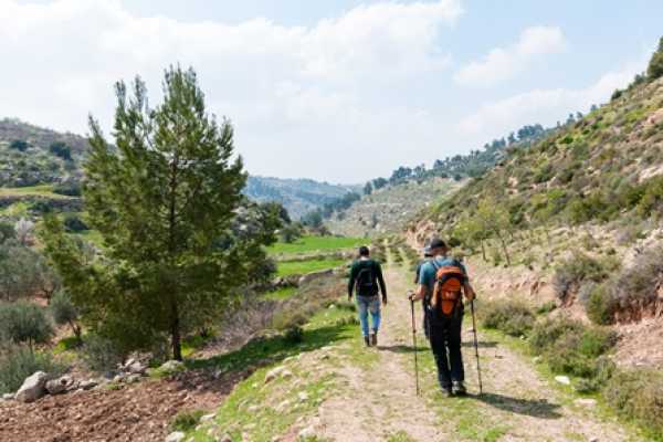
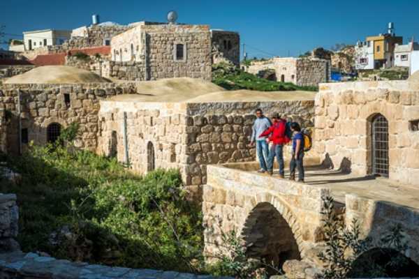
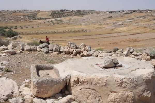
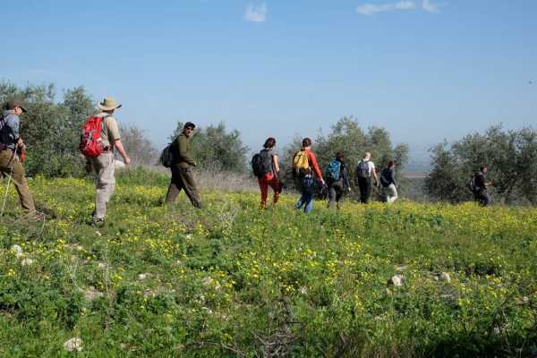
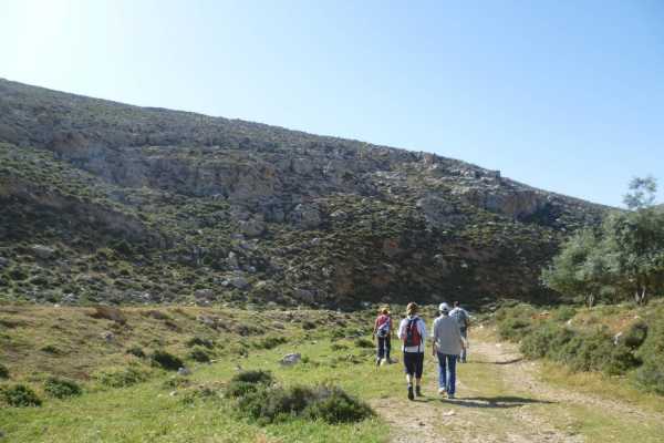
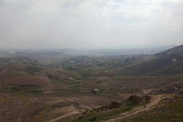
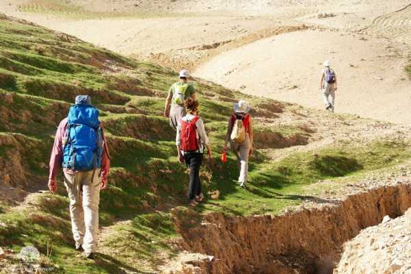
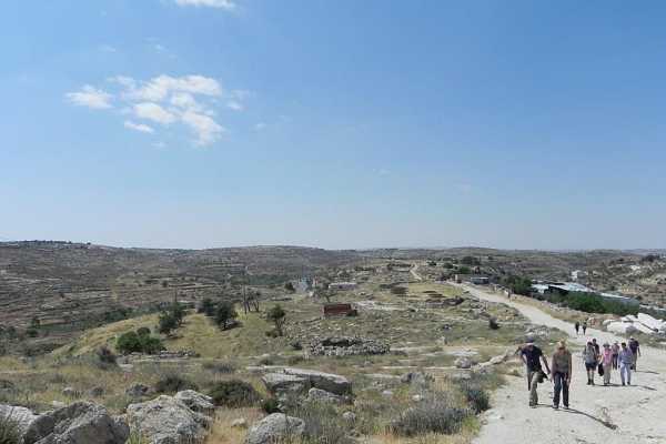
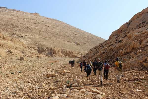
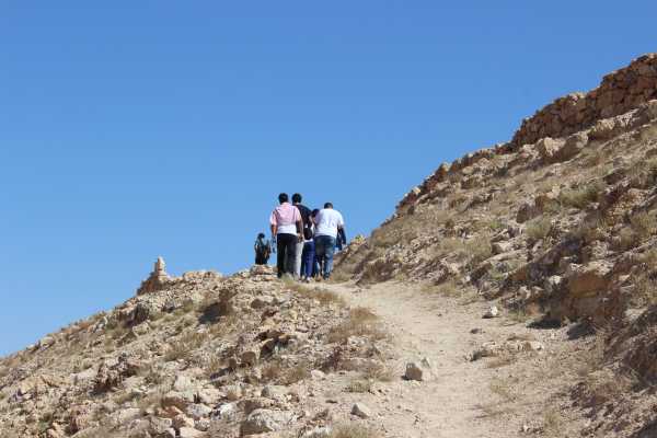
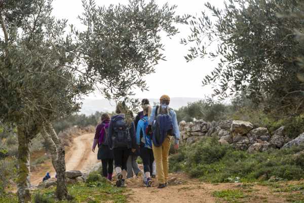
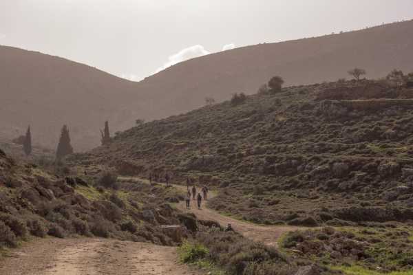
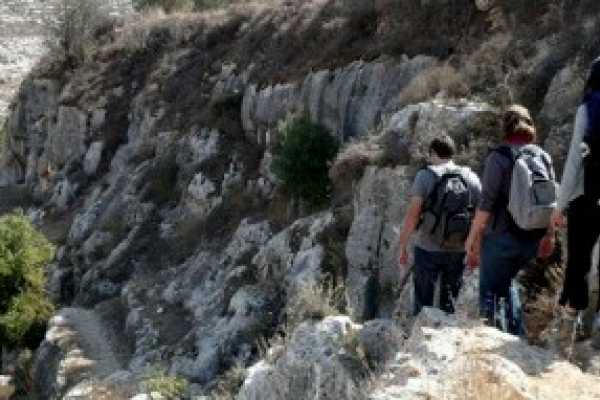
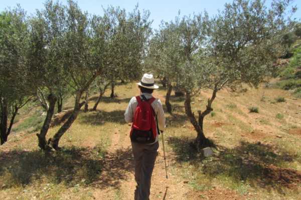
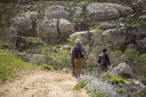
The final stage of Palestine Heritage Trail takes hikers on an interesting 19-kilometer hike between Dhahriya, located 23 kilometers southwest of Hebron, and Beit Mirsim, located 30 kilometers southwest of Hebron. Six kilometers down the trail one can see the ruins of a Byzantine church, located about 300 meters east of the village of Anab al-Kabir (22 kilometers southwest of Hebron). The compound served as a main religious center for the neighboring locations and includes parts of mosaic floors and the remains of a wine press and an impressive grain mill. The trail also passes through populated areas and just next to the primary school of Anab al-Kabir. If you hike on a workday, it is very possible that students on their way home from school will join you for some part of the trek. After Anab al-Kabir, the trail turns back to the north, leading to the suburb area of Dhahriya, where small shops can be found – a great place to refill supplies of cold water for the rest of the day. The trek also passes next to an amusement park and garden where hikers can take a break and rest in a shady spot. The final part of the trail leads through the picturesque Wadi Nufakh, a valley that becomes a river during the rainy season. The slopes of the valley are rich in various shrubs, including felty germander (Teucrium polium), in Arabic jedeh (الجعدة), which is widely used in popular medicine for treatment of stomach ailments. A small olive grove, ideal for taking rest in the shade, is located in the middle of the valley. Before reaching the village of Al-Burj, famous for housing the remains of a Crusader-period fortified castle and a church, the trail passes just next to the Israeli separation barrier. The Wall is also later visible from Beit Mirsim, the final location on Palestine Heritage Trail al-Khalil. The village is rich in heritage and includes such historical sites as a Byzantine olive press and a shrine of the Prophet Handal (Maqam al-Nabi Handal). Close to the village lies Tell Beit Mirsim, an ancient archaeological site, dating approximately to the eighteenth century BC. The site is now located on the other side of the wall and is inaccessible from the west bank!   Palestine Heritage Trail Hikers stamp location : Beit Mirsim Village Council  Walking distance: 19.8 km Walking time: 6-7 hours Difficulty: Moderate     Recommendations: Lightweight walking boots Walking poles At least 4-5 liters of water and snacks for the hike Sunscreen and hat Your camera   Included: An experienced local hiking guide Lunch in Route  Not Included: Transportations to the starting point and from the end point